
Fiileq:Singapore location map (main island).svg

Size of this PNG preview of this SVG file: 800 × 508 pixels. Andre opløsninger: 320 × 203 pixels | 640 × 406 pixels | 1.024 × 650 pixels | 1.280 × 812 pixels | 2.560 × 1.625 pixels | 3.247 × 2.061 pixels.
Oprindelig fil (SVG fil, basisstørrelse 3.247 × 2.061 pixels, filstørrelse: 309 KB)
.svg)
Beskrivelse
| Beskrivelse |
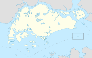
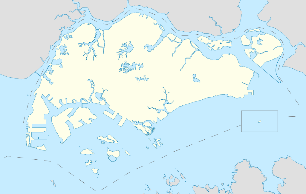
English: Locator Map for Singapore's main island, with Pedra Branca as an insert |
| Dato | |
| Kilde | Eget arbejde |
| Forfatter | Seloloving |
Licensering
Jeg, dette værks ophavsretsindehaver, publicerer hermed værket under den følgende licens:
This file is licensed under the Creative Commons Attribution-Share Alike 4.0 International license.
- Du må frit:
- at dele – at kopiere, distribuere og overføre værket
- at remixe – at tilpasse værket
- Under følgende vilkår:
- kreditering – Du skal give passende kreditering, angive et link til licensen, og oplyse om der er foretaget ændringer. Du må gøre det på enhver fornuftig måde, men ikke på en måde der antyder at licensgiveren godkender dig eller din anvendelse.
- deling på samme vilkår – Hvis du bearbejder, ændrer eller bygger videre på dette værk, skal du distribuere dine bidrag under den samme eller en kompatibel licens som originalen.
Filhistorik
Klik på en dato/tid for at se filen som den så ud på det tidspunkt.
| Ulloq/Piffissaq | Miniaturebillede | Dimensioner | Atuisoq | Kommentar | |
|---|---|---|---|---|---|
| nuværende | 14. Jun 2020, 11:16 | | 3.247 × 2.061 (309 KB) | Seloloving | added maritime borders |
| 13. Jun 2020, 09:36 |  | 3.247 × 2.061 (310 KB) | Seloloving | full extent of singapore and claimed waters | |
| 10. Jun 2020, 18:36 |  | 2.959 × 1.949 (224 KB) | Seloloving | Uploaded own work with UploadWizard |
Innersuutit
Der er ingen sider der bruger denne fil.
Global filanvendelse
Følgende andre wikier anvender denne fil:
- Anvendelser på bcl.wikipedia.org
- Anvendelser på en.wikipedia.org
- Jurong
- Jurong Island
- Pulau Tekong
- Changi
- Changi Naval Base
- Ang Mo Kio
- Changi Prison
- Sembawang
- Pulau Ubin
- Paya Lebar Air Base
- Geylang
- Sakya Muni Buddha Gaya Temple
- Punggol
- Woodlands, Singapore
- Marine Parade
- Clementi, Singapore
- Pasir Ris
- Orchard Road
- Kallang
- Choa Chu Kang
- Paya Lebar
- Republic of Singapore Navy
- Singapore Army
- Tampines
- Bukit Timah
- Yishun
- Marsiling
- Serangoon
- Bishan, Singapore
- Lim Chu Kang
- Bukit Batok
- Bukit Panjang
- Hougang
- Queenstown, Singapore
- Toa Payoh
- Tuas
- Former National Stadium, Singapore
- 1984 AFC Asian Cup
- Bedok
- Kong Meng San Phor Kark See Monastery
- Seletar
- Pulau Brani
- Kusu Island
- Sisters' Islands
- Pulau Hantu
Vis flere globale anvendelser af denne fil.
.svg)
.svg)